99's Heat Run (June 29th, 2008)

Pics and reports of past Ahtanum runs
User avatar
Beep Beep
Posts: 789
Joined: Wed Mar 21, 2007 9:27 pm
Location: Selah, Washington

99's Heat Run (June 29th, 2008)

Postby Beep Beep » Mon Jun 30, 2008 4:10 pm

99's getting out of the heat run
June 29th, 2008

Turning off the South Fork Ahtanum Road (A1000) onto the Bolder trail.
Image

We stopped on the Sedge Ridge Crest Trail so people could air down more.
Image

Test Dummy rig started having fuel pump problems so he headed back down The rest of us turned down A2420 and then on A2400 to the Sno-park.
Image

Then it was on up the Mid Fork Ahtanum Road (A2000) and onto the Whites Ridge Loop Trail (A2600). We took the Whites Ridge Crest Trail when we got to it.
Image

Next we turned down the Whites Ridge Cross-over Trail (A3300) then went up the North Fork Ahtanum Road (A3000).

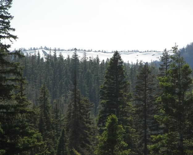
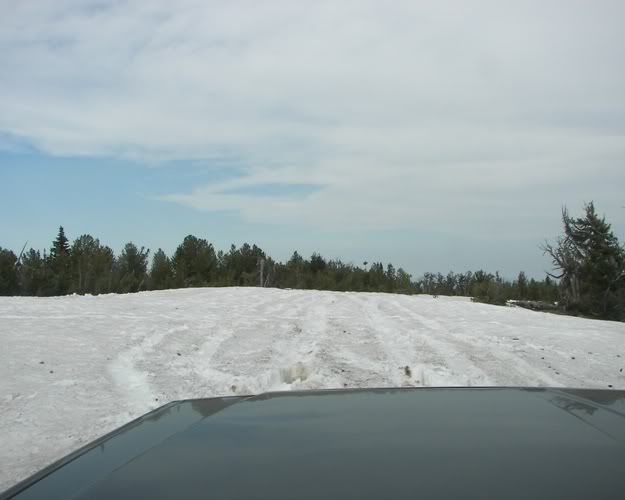
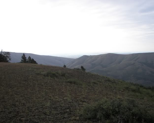
Here is looking at the snow on Darland Mountain.
Image

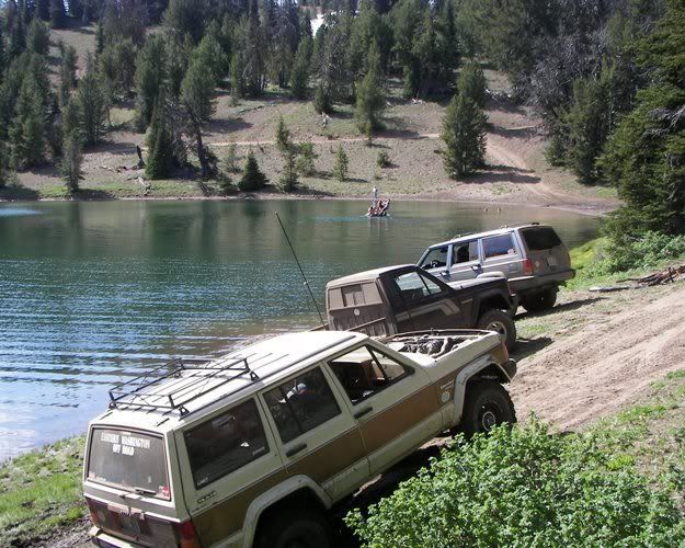
Next we ran the Blue Lake Trail onto 4W615 and stopped at Blue Lake for the kids to get out.
Image

The bugs were bad so we headed on up 4W615 to the Blue Slide Lookout.
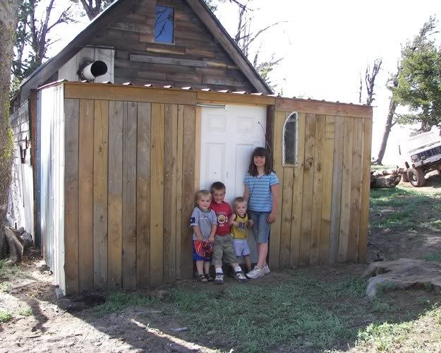
Image

Image

My kids having fun.
Image

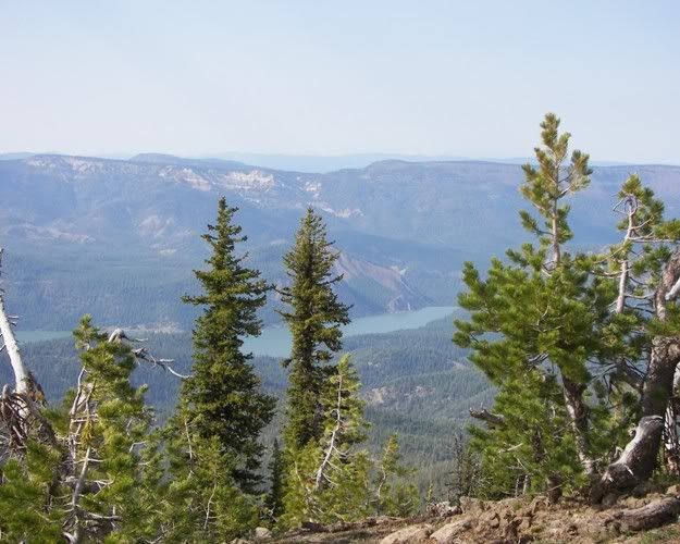
After a short break we headed on down FS1020. Here is looking down at Rimrock Lake.
Image

Image

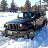
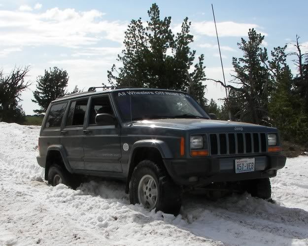
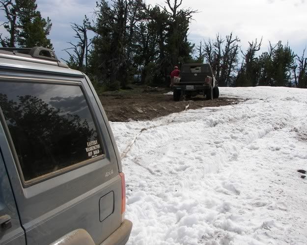
Here we ran into a big snow drift.
Image

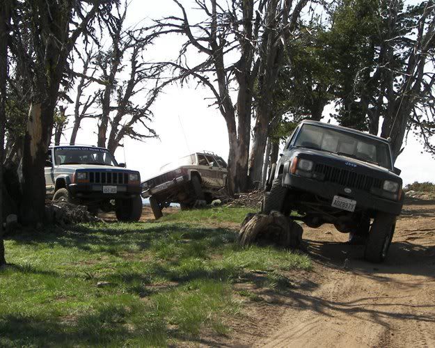
Here I am stuck because of the Swabbie tires.
Image

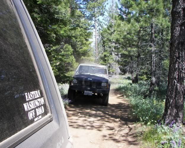
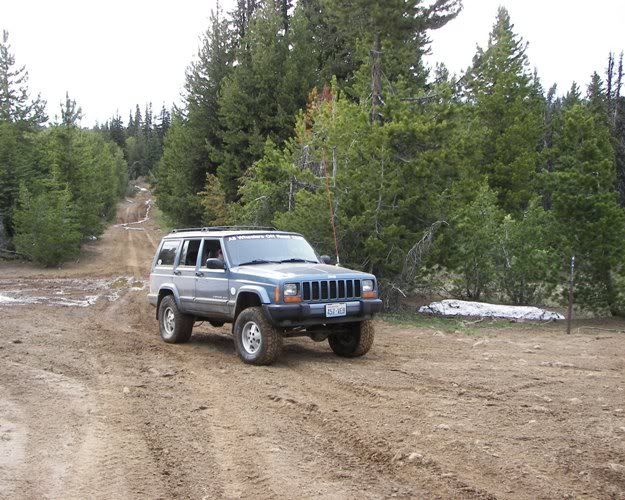
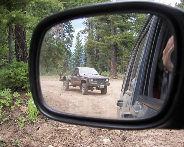
You can see the dust on my rig from the trails to this point.
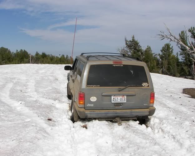
Image

Tiny is also stuck.
Image

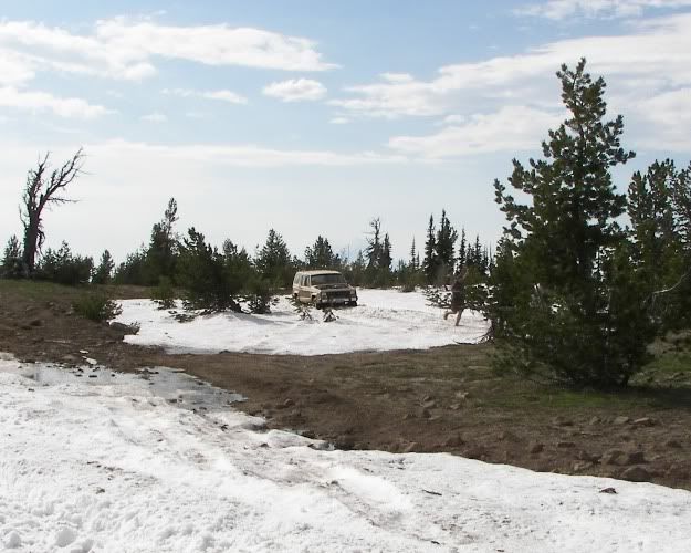
Roll Over to the rescue.
Image

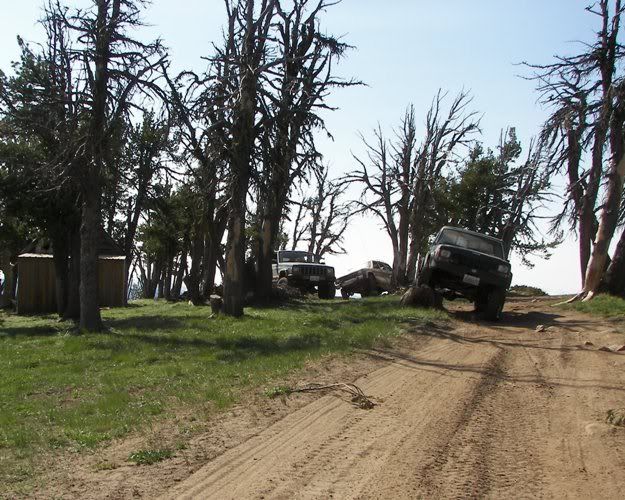
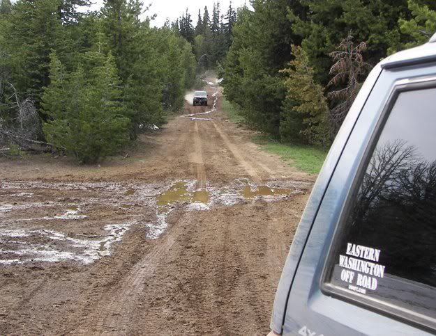
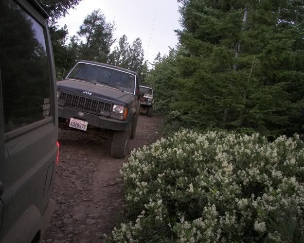
On down FS1020. Here at 4W613 the road changes numbers to A2300 aka Jackass Road.
Image

Image

Image

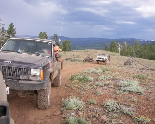
Turning of Jackass Road onto A5000.
Image

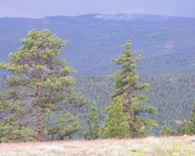
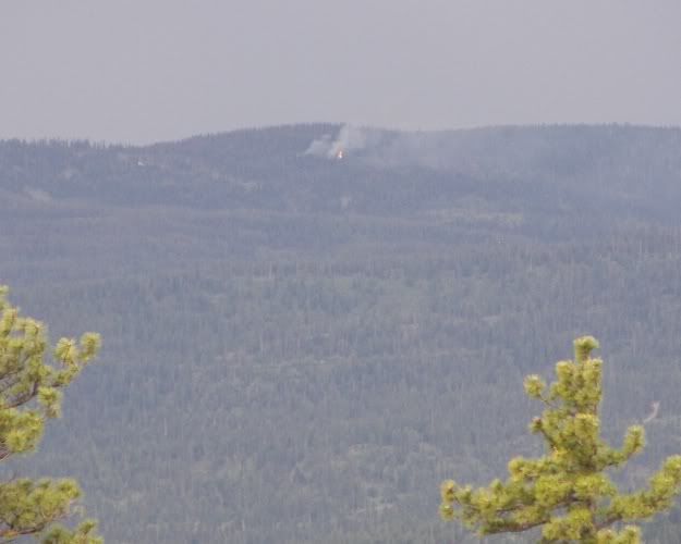
As we were heading down toward the Nasty Creek Corrals the weather turned. There was a lot of lightening. We saw lightening hit and start a fire. I think it was on the ridge Southwest of Sedge Ridge
Image

Image

Shutting the gate so the cows don't get out.
Image

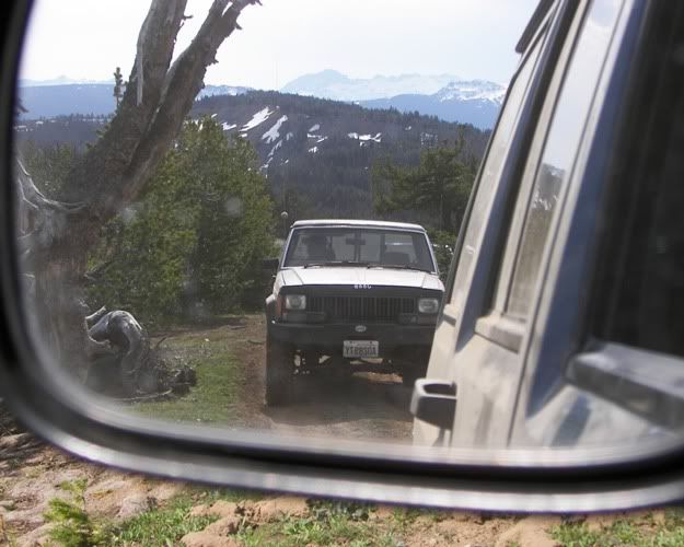
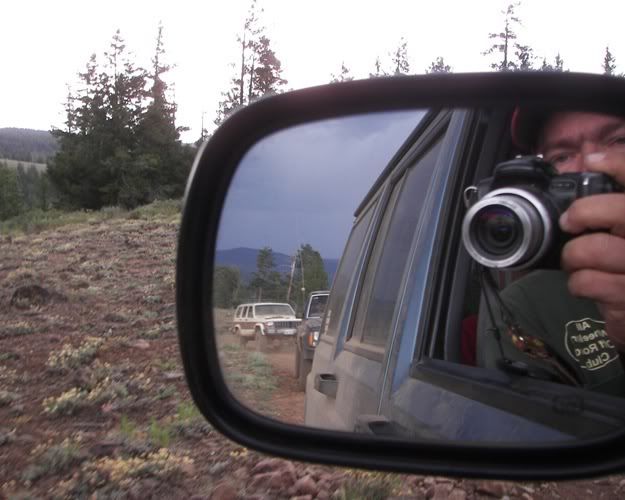
Another to lazy to turn around picture.
Image

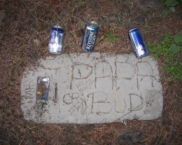
Does anyone know the Papa Bud's story? Maybe this was his hunting spot?
Image

Image

Here we finely got out on the phone to call about the fire. Sparky's dad already called the DNR. They could see the fire from there house in Tampico.
Image

Looking down toward Tampico.
Image

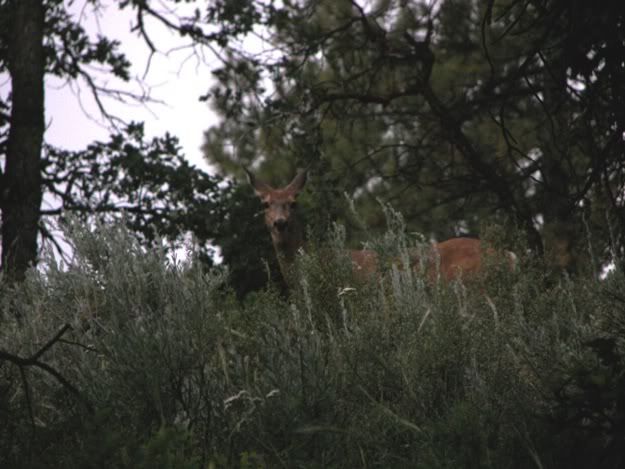
Here we see one of the locals.
Image

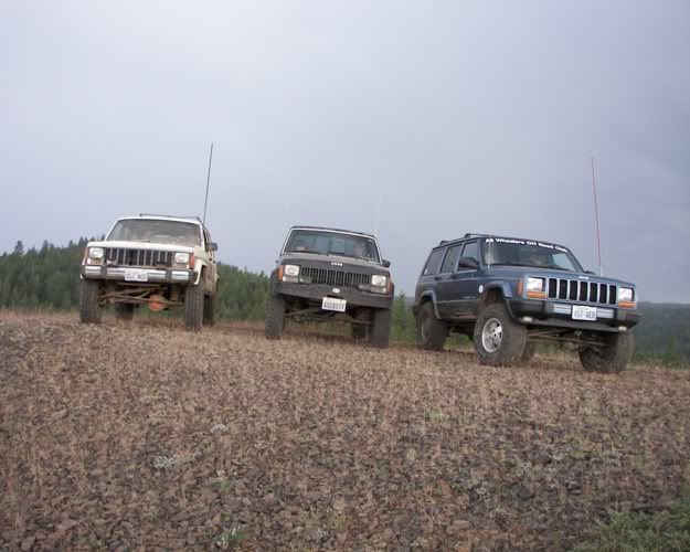
This was a real fun run thanks to the people that came.

PS: I wish I was there again today.

User avatar
Danny
Peak Putters Associate
Posts: 1331
Joined: Wed Mar 14, 2007 9:41 pm
Location: Richland, WA

Postby Danny » Tue Jul 01, 2008 9:49 pm

Clay, great pics. Sounds like it was a fun run and with just a few rigs. How was the heat up there?

User avatar
Beep Beep
Posts: 789
Joined: Wed Mar 21, 2007 9:27 pm
Location: Selah, Washington

Postby Beep Beep » Tue Jul 01, 2008 10:32 pm

Thanks.

It was still hot up there but not as bad as in the valley. I am headed back up Thursday.

User avatar
Danny
Peak Putters Associate
Posts: 1331
Joined: Wed Mar 14, 2007 9:41 pm
Location: Richland, WA

Postby Danny » Wed Jul 02, 2008 7:59 am

I have to work Thursday or I'd join you.

Wish I knew the trails up there like you do. Where can I get a good map of the area? A new guy in the club and I are thinking about going up for a day trip here soon.

User avatar
Beep Beep
Posts: 789
Joined: Wed Mar 21, 2007 9:27 pm
Location: Selah, Washington

Postby Beep Beep » Wed Jul 02, 2008 9:01 am

Danny wrote:Where can I get a good map of the area?
Here I have a lot of info with maps. http://www.aworc.com/phpBB/viewtopic.php?f=7&t=523

The latest DRN map http://cegranch.com/map/ahtanum-2005.pdf

sams88
Posts: 264
Joined: Sun Nov 11, 2007 2:51 pm
Location: Richland, WA

Postby sams88 » Wed Jul 02, 2008 9:40 am

Yup, really nices pics!! :) And thanks for the .pdf for the map too! :)
90 MJ, 5.5" RE Long arm
88 yota p/u

User avatar
Beep Beep
Posts: 789
Joined: Wed Mar 21, 2007 9:27 pm
Location: Selah, Washington

Postby Beep Beep » Wed Jul 02, 2008 10:37 am

sams88 wrote:Yup, really nices pics!! :) And thanks for the .pdf for the map too! :)
Thanks. The pdf is close to being right. We are starting the GPS for the new map next week. The DNR may add or remove some of the Green dot roads after all the GPS data is in. We are hoping to get some real 4x4 trails reopened.

User avatar
Beep Beep
Posts: 789
Joined: Wed Mar 21, 2007 9:27 pm
Location: Selah, Washington

Postby Beep Beep » Wed Jul 02, 2008 12:19 pm

Ceg wrote:I am headed back up Thursday.
Damn something came up where I can't get there until Friday. :cry:

User avatar
Danny
Peak Putters Associate
Posts: 1331
Joined: Wed Mar 14, 2007 9:41 pm
Location: Richland, WA

Postby Danny » Wed Jul 02, 2008 12:43 pm

Thanks Ceg, maps like this always come in handy.

And Friday won't do me any good either as the fam has a huge fandango planned for the day. But I'll catch up with you and a run one of these days.


Return to “Ahtanum State Forest / Tampico”

Who is online

Users browsing this forum: No registered users and 15 guests