Independence Day Run
July 4th, 2008
On July 4th, 2008 we met at Mischief Maker's camp at Tree Phones around 10 AM.
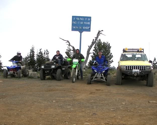
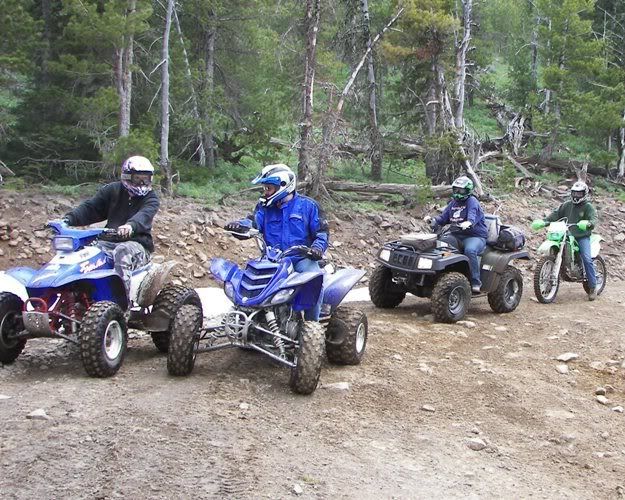
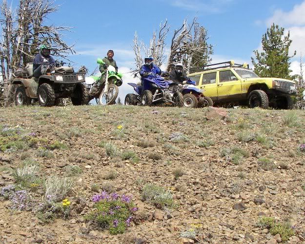
Our first stop we on top of Darland Mountain for a picture.
From left to right.
Mason, Sparky, Test Dummy, Mischief Maker, Ceg & family.
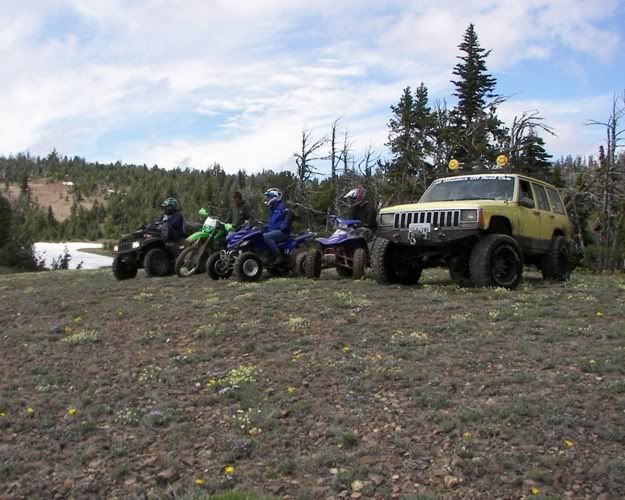
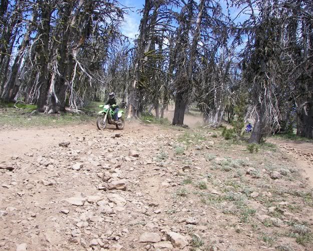
Here we are going down the North Slope of Darland Mountain.
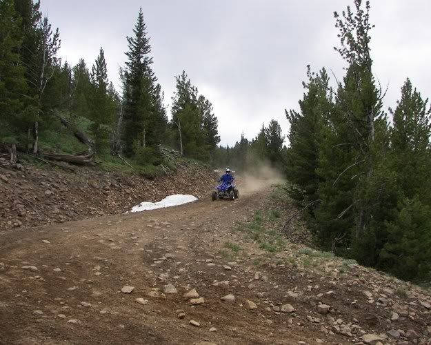
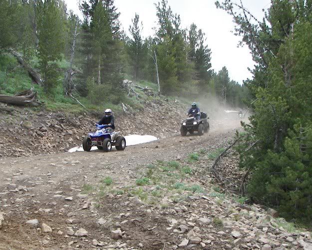
Mason, Mischief Maker, Sparky & Test Dummy
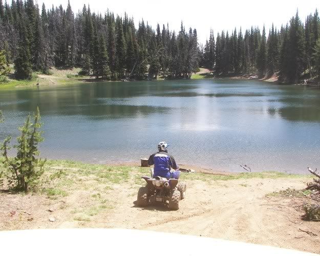
We stopped at Blue Lake for a short break. We watch the 4x4xNorthwest club come in from Rimrock and then the Timber Tamers.
Here we are leaving Blue Lake.
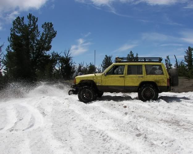
We headed up 4W615 onto FS1020. A few miles down we played in a few snow drifts and stopped here for the view.
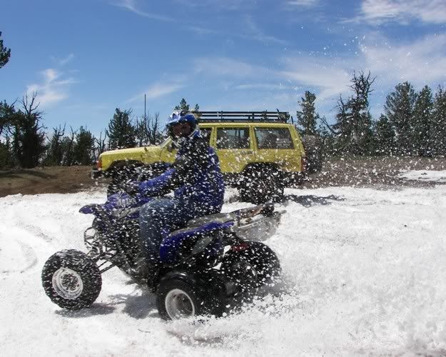
We headed back up FS1020 through the snow again. Here is Mischief Maker showing off to my kids in the Tweety Jeep.
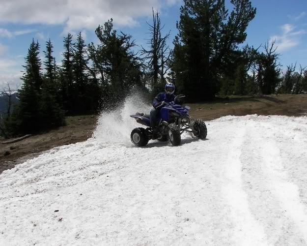
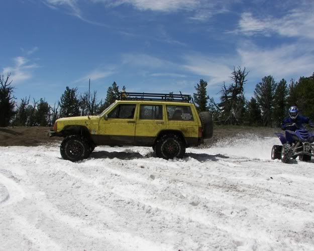
Yeah, I wore some snow on that one.
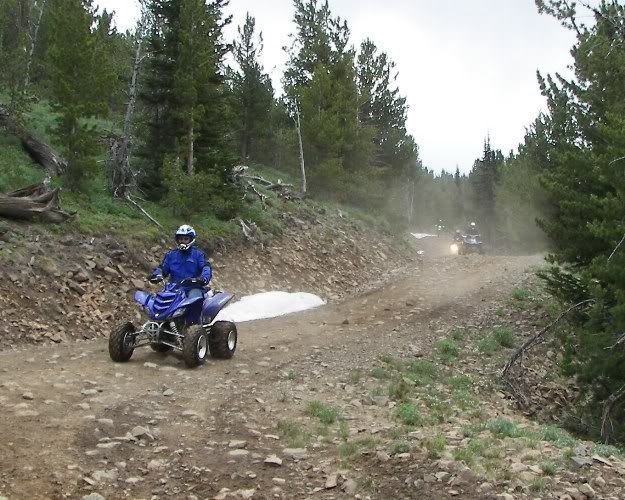
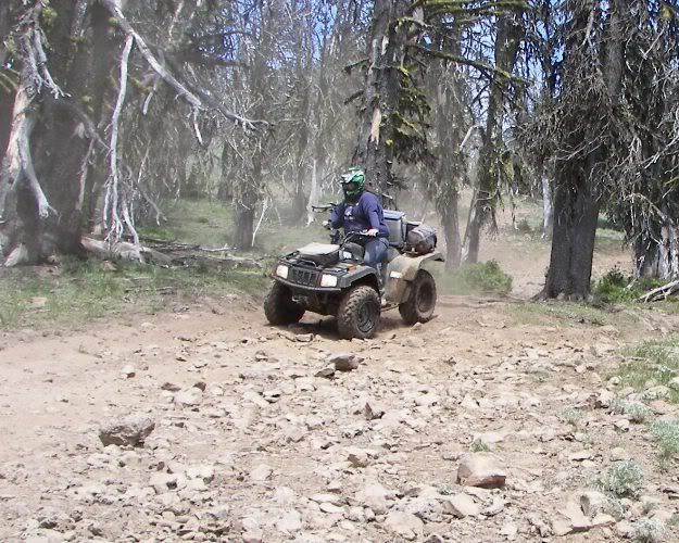
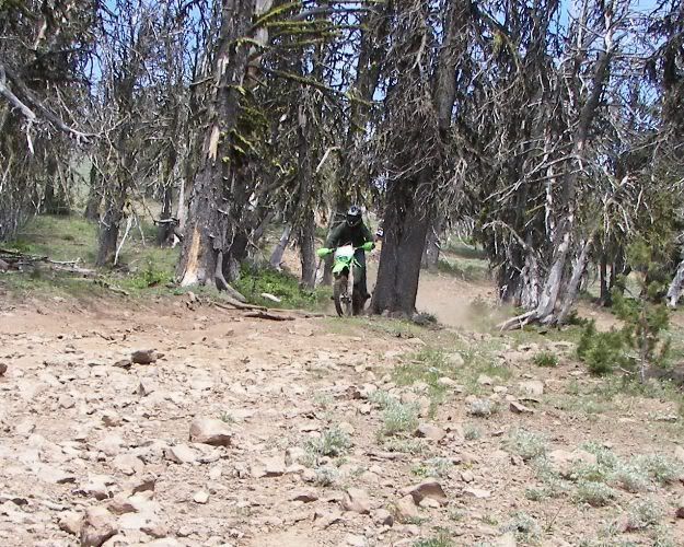
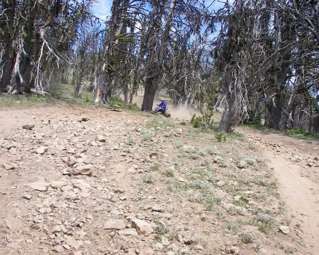
Here we are dropping down 4W615 from FS1020 toward Blue Lake.
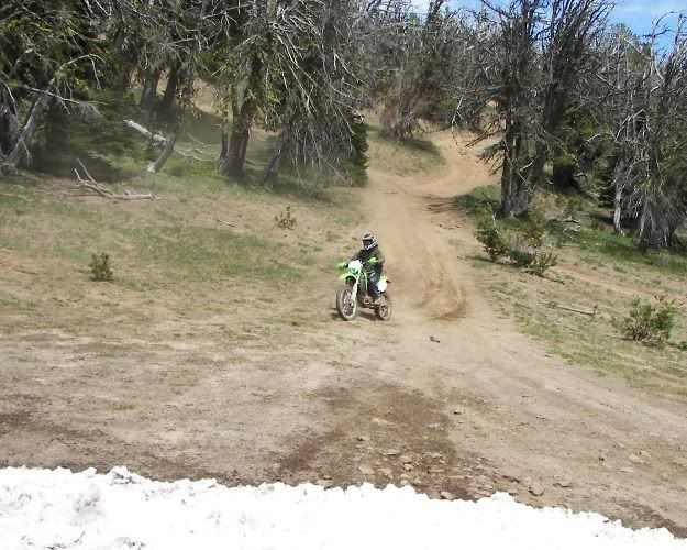
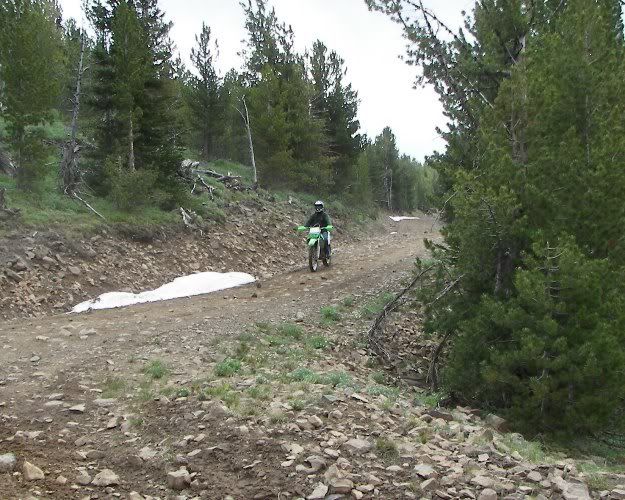
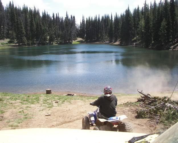
Here is Test Dummy trying to park the bike to see the damage he just did on the crash down in the rocky area.
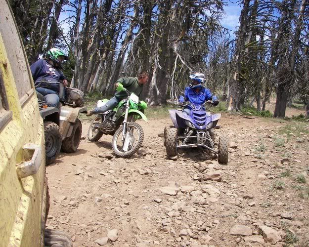
He only broke of some plastic. This is Roll Over's bike.
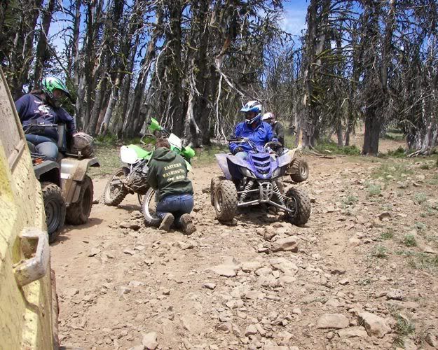
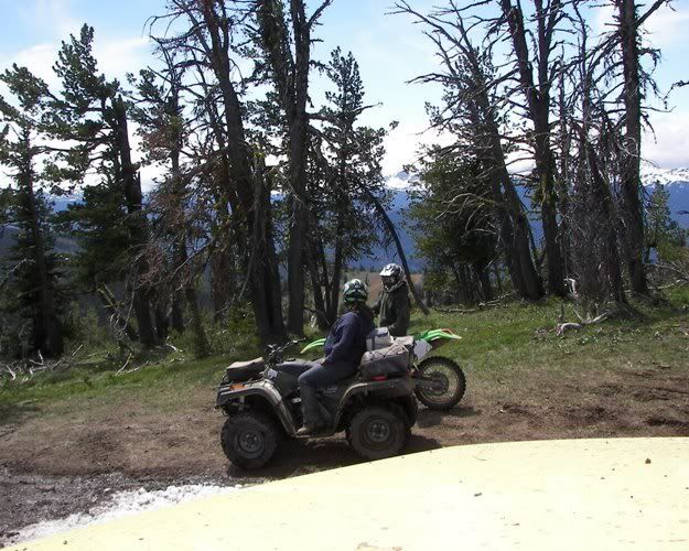
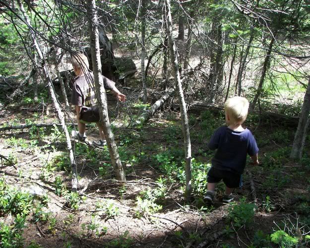
Our next stop was at Snow Cabin Camp Ground so the ladies could use the out house.
Here are two of my boys playing in the woods.
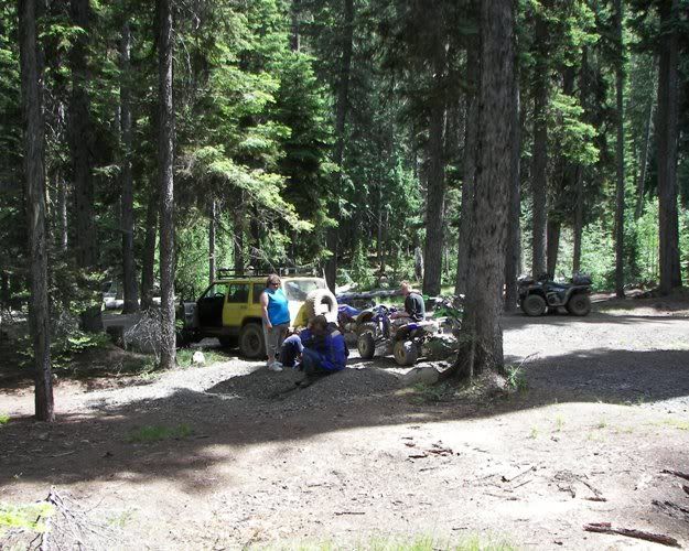
We took the North Fork Road down and used the Whites Ridge Cross-Over Trail to get back to the Mid Fork Road and up to Tree Phones. Fatboy met us there in his TJ.
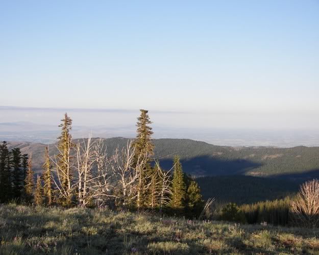
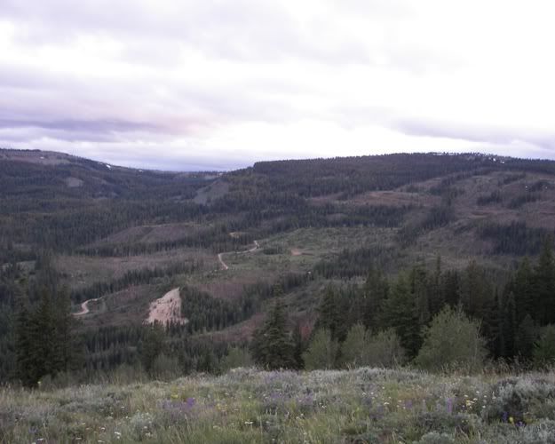
Next we headed down the Mid Fork Road and up the Whites Ridge Cross-Over Trail and onto the Whites Ridge Crest Trail. We went up to find a good place to see the fire works. We decided Make-Out Point would work. Here is the view in day light hours. It was kind of hazy that day.
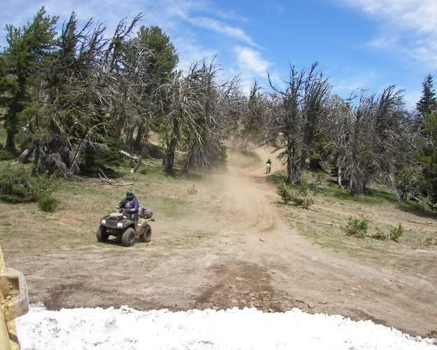
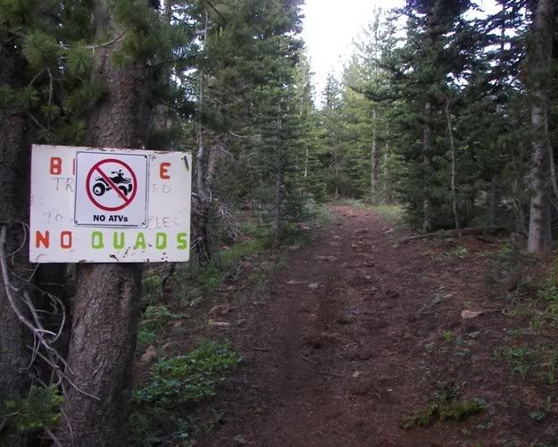
We ran to the top end of the Whites Ridge Crest Trail to kill some time. On the way back down we stopped to read a No Quads Sign on the Grey Rock Trail.
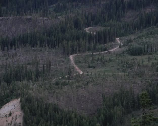
Next we went on down to Norm's Check-point to look down at the area around Tree Phones.
Here you can see Shawn Montee logged a lot of the area we were closed out of in September 2005.
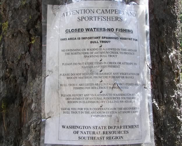
Here you can see some quads in the closed area. They may have not known it is closed if they came into the closed area from one of the trails above. The only closed signs I have seen are at the bottom of the road they are going down. I have talked to the DNR about this problem and I was told they don't want ugly closed signs hanging everywhere. I say signs are education and ticket the ones that don't care to read the signs instead of ticketing people for being in non-posted areas.
We headed on back up to Make-out Point to watch the fire works. We could see the ones at the fair grounds in Yakima and the ones at Legends in Toppenish. They were really small from Whites Ridge.
This was a great day thanks to the people that came.
