GPS Mapping 4W613 Adjacent Trails
July 13th, 2008
Sunday July 13th, 2008 we headed out to GPS map the 4W613 Adjacent trails at the Ahtanum for the DNR's new recreation plan. We also had to move some down trees on 4W613. This is the first time we had a chance to work on this part of 4W613 since we adopted it.
We aired down at Nasty Creek Corals.
![Image](http://i268.photobucket.com/albums/jj1/cegranch/aworc/2008-07-13-GPS-613-side/2008-07-13-004.jpg)
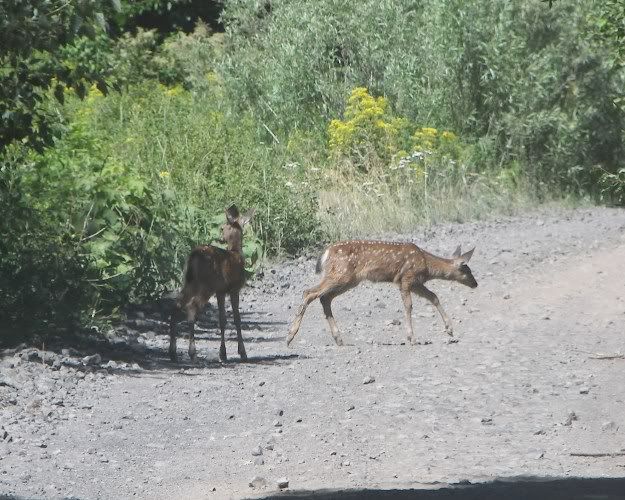
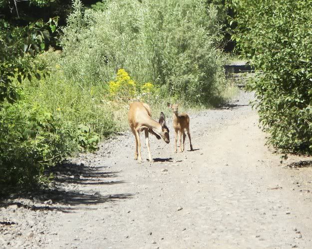
On the way up we found deer in the road. They watched us for awhile before running off.
![Image](http://i268.photobucket.com/albums/jj1/cegranch/aworc/2008-07-13-GPS-613-side/2008-07-13-006.jpg)
![Image](http://i268.photobucket.com/albums/jj1/cegranch/aworc/2008-07-13-GPS-613-side/2008-07-13-008.jpg)
First we GPS Mapped the short cut everyone runs to the Strobach Mt Trail.
![Image](http://i268.photobucket.com/albums/jj1/cegranch/aworc/2008-07-13-GPS-613-side/2008-07-13-015.jpg)
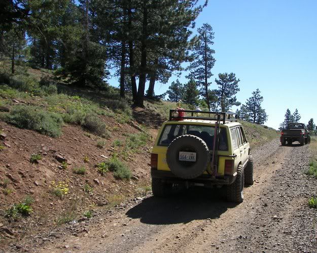
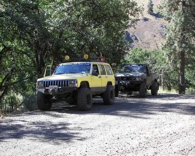
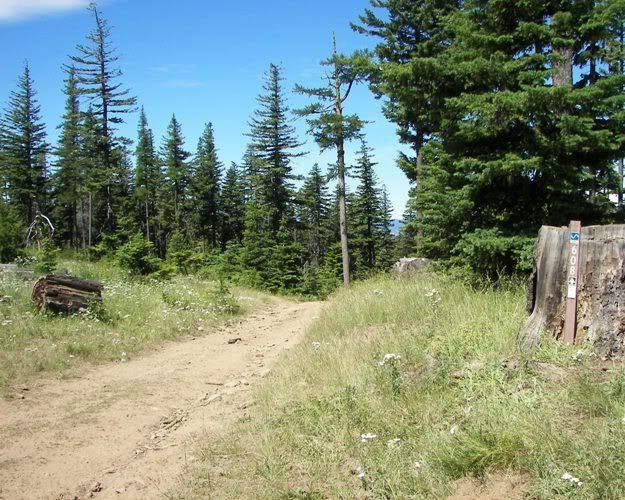
Next was the access road to the trail heads of Louie Way Gap. 1127 (single track), 4W608 and 4W613.
![Image](http://i268.photobucket.com/albums/jj1/cegranch/aworc/2008-07-13-GPS-613-side/2008-07-13-022.jpg)
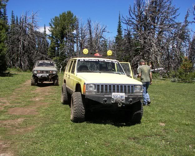
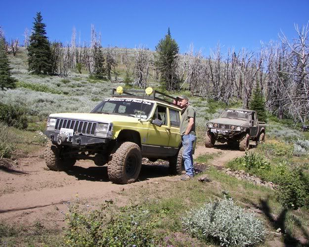
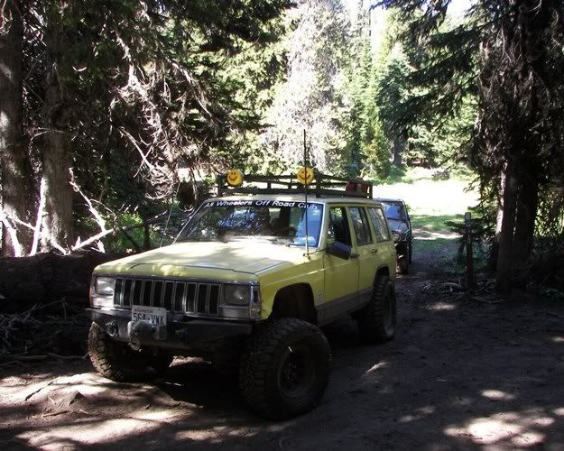
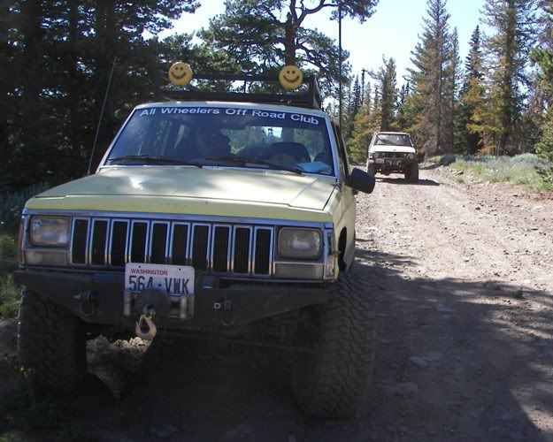
Here we are at the three Trail Heads.
![Image](http://i268.photobucket.com/albums/jj1/cegranch/aworc/2008-07-13-GPS-613-side/2008-07-13-027.jpg)
![Image](http://i268.photobucket.com/albums/jj1/cegranch/aworc/2008-07-13-GPS-613-side/2008-07-13-029.jpg)
The 4W608 Trail Marker was broken off.
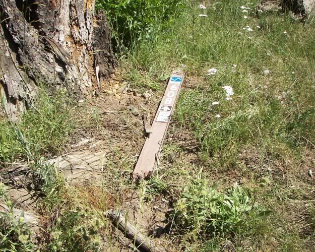
![Image](http://i268.photobucket.com/albums/jj1/cegranch/aworc/2008-07-13-GPS-613-side/2008-07-13-032.jpg)
We fix it.
![Image](http://i268.photobucket.com/albums/jj1/cegranch/aworc/2008-07-13-GPS-613-side/2008-07-13-040.jpg)
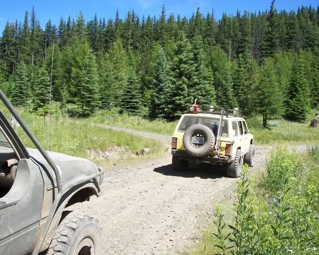
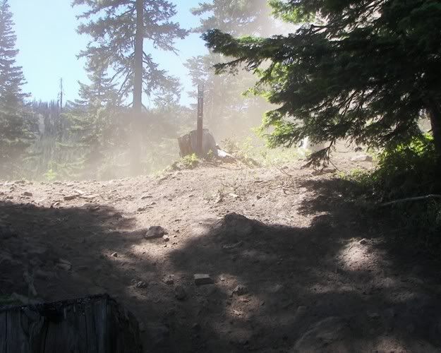
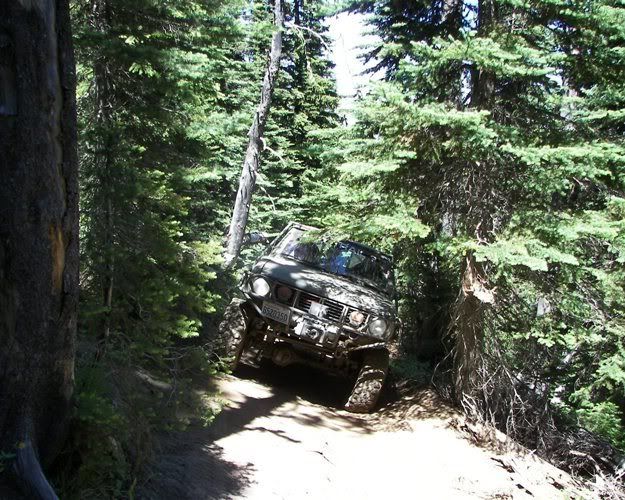
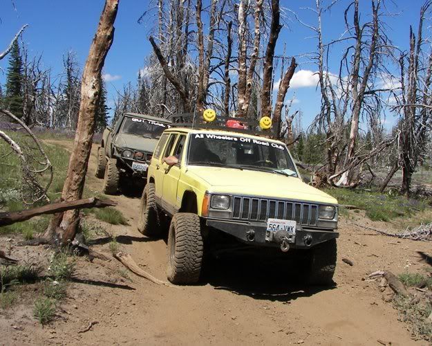
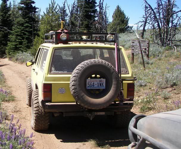
Next we headed up 4W613. This is at the top of the powder climb.
![Image](http://i268.photobucket.com/albums/jj1/cegranch/aworc/2008-07-13-GPS-613-side/2008-07-13-043.jpg)
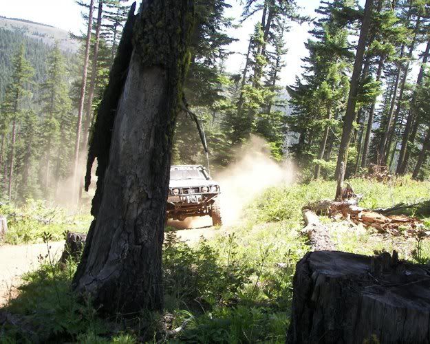
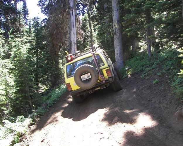
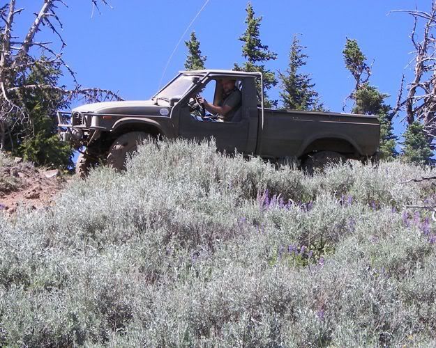
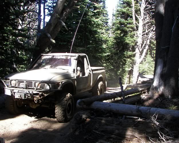
Here comes Colemancooler.
![Image](http://i268.photobucket.com/albums/jj1/cegranch/aworc/2008-07-13-GPS-613-side/2008-07-13-045.jpg)
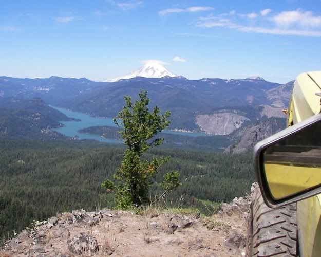
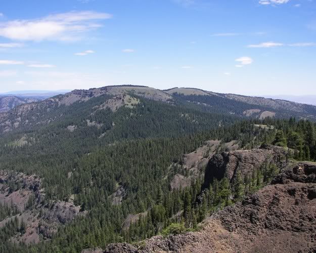
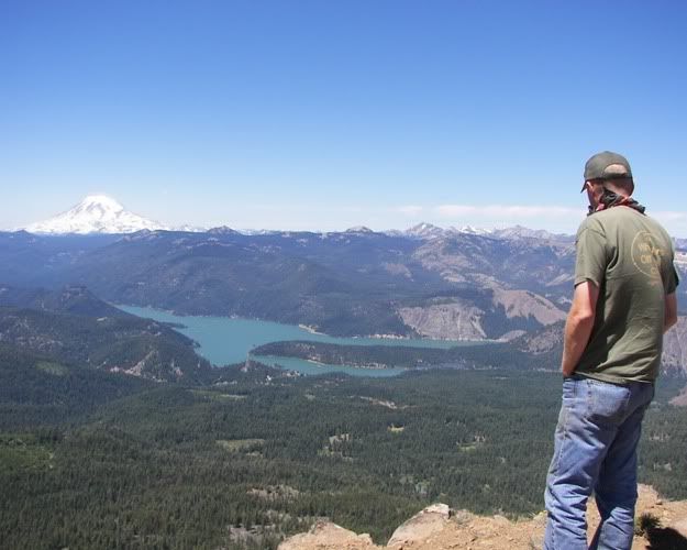
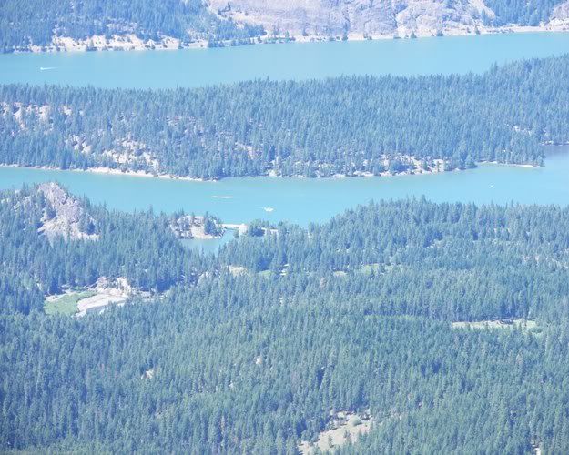
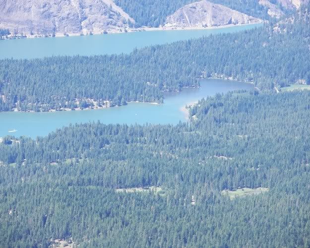
Here we are at the first view point. A nice view of Rimrock Lake and Mt Rainier.
![Image](http://i268.photobucket.com/albums/jj1/cegranch/aworc/2008-07-13-GPS-613-side/2008-07-13-046.jpg)
![Image](http://i268.photobucket.com/albums/jj1/cegranch/aworc/2008-07-13-GPS-613-side/2008-07-13-062.jpg)
We stopped here to fix part of the trail around the corner on a climb.
![Image](http://i268.photobucket.com/albums/jj1/cegranch/aworc/2008-07-13-GPS-613-side/2008-07-13-070.jpg)
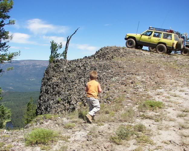
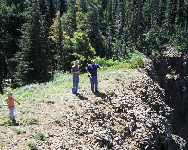
Since we were already parked, we walked up to take a look off the cliff.
![Image](http://i268.photobucket.com/albums/jj1/cegranch/aworc/2008-07-13-GPS-613-side/2008-07-13-085.jpg)
Looking back at Louie Way Gap.
![Image](http://i268.photobucket.com/albums/jj1/cegranch/aworc/2008-07-13-GPS-613-side/2008-07-13-086.jpg)
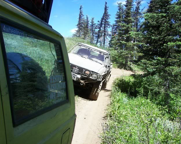
On up the trail I just had to get out and take pictures of the off camber.
![Image](http://i268.photobucket.com/albums/jj1/cegranch/aworc/2008-07-13-GPS-613-side/2008-07-13-105.jpg)
![Image](http://i268.photobucket.com/albums/jj1/cegranch/aworc/2008-07-13-GPS-613-side/2008-07-13-110.jpg)
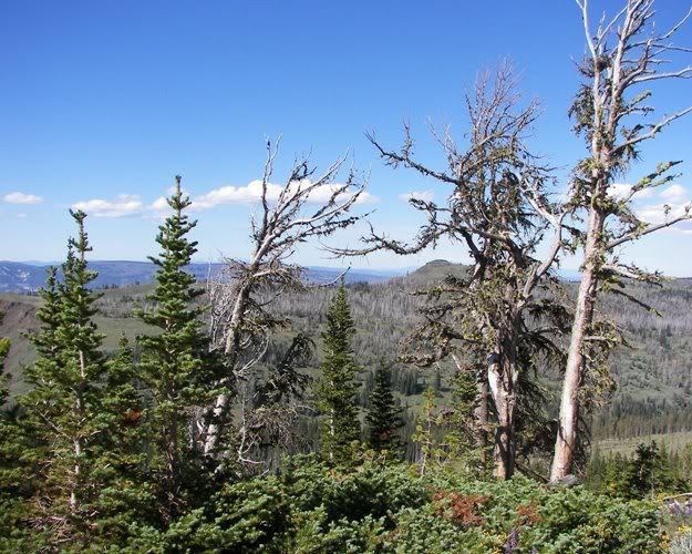
Next we GPS mapped the Strobach Mountain Vista.
![Image](http://i268.photobucket.com/albums/jj1/cegranch/aworc/2008-07-13-GPS-613-side/2008-07-13-115.jpg)
Colemancooler looking off the ridge.
![Image](http://i268.photobucket.com/albums/jj1/cegranch/aworc/2008-07-13-GPS-613-side/2008-07-13-122.jpg)
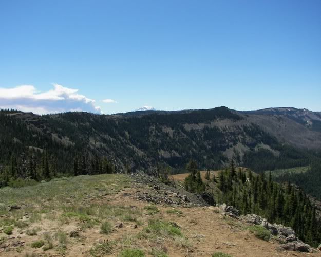
You can see Dome Peak from Strobach Mountain which is our next trail to GPS to.
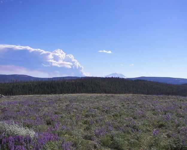
I believe the cloud is the Cold Springs fire.
![Image](http://i268.photobucket.com/albums/jj1/cegranch/aworc/2008-07-13-GPS-613-side/2008-07-13-124.jpg)
We stopped at the meadow near Dome Peak for lunch.
![Image](http://i268.photobucket.com/albums/jj1/cegranch/aworc/2008-07-13-GPS-613-side/2008-07-13-132.jpg)
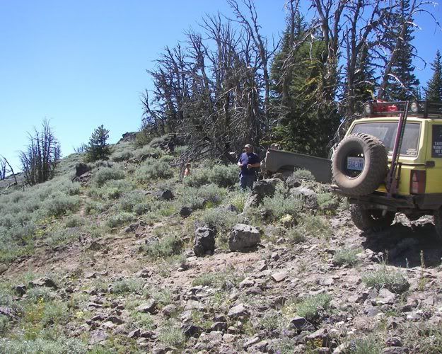
Here we are going through the Dome Peak fire area.
![Image](http://i268.photobucket.com/albums/jj1/cegranch/aworc/2008-07-13-GPS-613-side/2008-07-13-136.jpg)
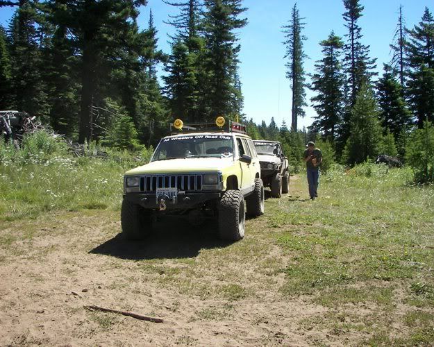
Here we are at the Dome Peak Trail Head.
![Image](http://i268.photobucket.com/albums/jj1/cegranch/aworc/2008-07-13-GPS-613-side/2008-07-13-153.jpg)
We GPS mapped the trail to the end.
![Image](http://i268.photobucket.com/albums/jj1/cegranch/aworc/2008-07-13-GPS-613-side/2008-07-13-157.jpg)
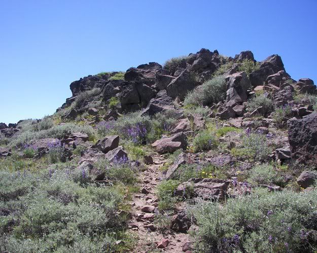
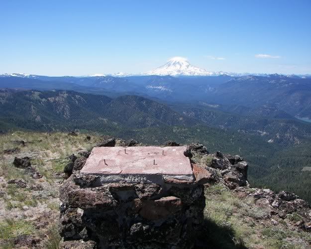
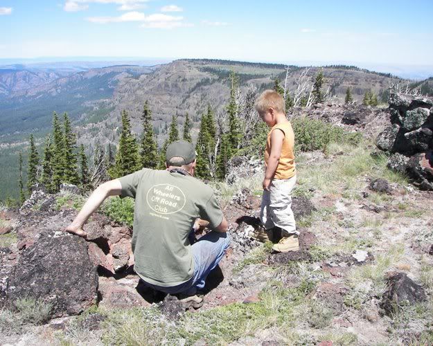
We took the walk up to the top of Dome Peak.
![Image](http://i268.photobucket.com/albums/jj1/cegranch/aworc/2008-07-13-GPS-613-side/2008-07-13-163.jpg)
![Image](http://i268.photobucket.com/albums/jj1/cegranch/aworc/2008-07-13-GPS-613-side/2008-07-13-165.jpg)
I wonder what the missing plaque had written on it.
The concrete says it was put there on my 16th birthday.
![Image](http://i268.photobucket.com/albums/jj1/cegranch/aworc/2008-07-13-GPS-613-side/2008-07-13-166.jpg)
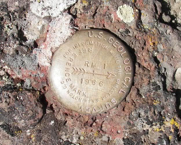
There is an old survey marker.
![Image](http://i268.photobucket.com/albums/jj1/cegranch/aworc/2008-07-13-GPS-613-side/2008-07-13-178.jpg)
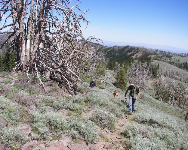
You can look back and see the ridge we followed to this point.
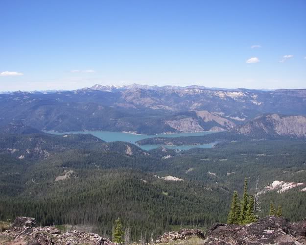
![Image](http://i268.photobucket.com/albums/jj1/cegranch/aworc/2008-07-13-GPS-613-side/2008-07-13-181.jpg)
Rimrock Lake.
![Image](http://i268.photobucket.com/albums/jj1/cegranch/aworc/2008-07-13-GPS-613-side/2008-07-13-180.jpg)
Close-ups
![Image](http://i268.photobucket.com/albums/jj1/cegranch/aworc/2008-07-13-GPS-613-side/2008-07-13-183.jpg)
![Image](http://i268.photobucket.com/albums/jj1/cegranch/aworc/2008-07-13-GPS-613-side/2008-07-13-184.jpg)
We walked back down to our rigs and headed out.
Colemancooler looked like he came close to flopping it as he turned around to come out.
![Image](http://i268.photobucket.com/albums/jj1/cegranch/aworc/2008-07-13-GPS-613-side/2008-07-13-207.jpg)
Here we stopped to let my dogs out to drink some cool spring water.
![Image](http://i268.photobucket.com/albums/jj1/cegranch/aworc/2008-07-13-GPS-613-side/2008-07-13-215.jpg)
Here we are passing one of the areas on 4W613 we worked on the day before.
![Image](http://i268.photobucket.com/albums/jj1/cegranch/aworc/2008-07-13-GPS-613-side/2008-07-13-219.jpg)
Colemancooler passing the 4W613 cattle guard.
![Image](http://i268.photobucket.com/albums/jj1/cegranch/aworc/2008-07-13-GPS-613-side/2008-07-13-221.jpg)
Now up on Jackass Road you can look back at Dome Peak.
![Image](http://i268.photobucket.com/albums/jj1/cegranch/aworc/2008-07-13-GPS-613-side/2008-07-13-228.jpg)
Another look at the fire cloud hours later.
![Image](http://i268.photobucket.com/albums/jj1/cegranch/aworc/2008-07-13-GPS-613-side/2008-07-13-233.jpg)
At this point Colemancooler had to get home.
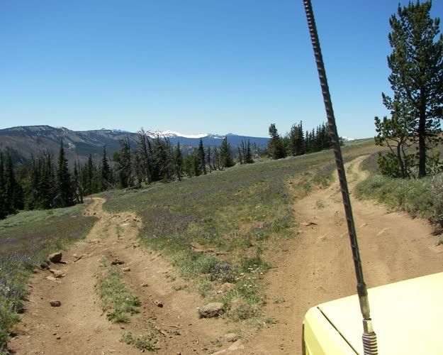
We had one last trail to GPS map on the way out so we parted ways.
![Image](http://i268.photobucket.com/albums/jj1/cegranch/aworc/2008-07-13-GPS-613-side/2008-07-13-236.jpg)
This was a very fun day.